
TENNESSEE VALLEY-Early models for wintery weather for the weekend in the Tennessee Valley. Models are coming together for SOME sort of winter weather for north and central Alabama late this week…but, details of where, what, how much, still to be resolved. It could be a light event, or a major impact event. Stay tuned.This from the Birmingham NWS:From BMX…
“Models are now in much better agreement with the handling of a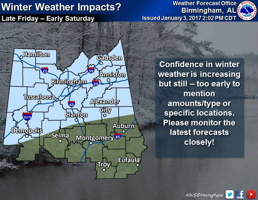
portion of the positively-tilted trough left behind over Oregon
as it heads toward the Southern Plains on Friday. As an Arctic
airmass continues to press southward, the Plains shortwave may
induce a Gulf low with isentropic lift spreading over the region.
With the support of all the global models and many ensemble
members, this forecast update features the first aggressive step
toward a possible high-impact winter storm on Friday into early
Saturday. The strength of the airmass moving southward in advance
of the storm system suggests temperatures could fall well below
freezing during the event which would lead to higher than normal
impacts. Those details will need to be refined in later updates.
The HWO will be updated to include a low confidence chance of
accumulating sleet and snow. Confidence will be raised if models
continue on course.”
